La Palma · Canary Islands · Basecamp guide
Tijarafe Basecamp
A quiet village on La Palma's sunny west side, with short drives to the coastal trails, the Mirador del Time and the island's great ravines. This guide covers where to stay, how to get there and what the roads are really like.
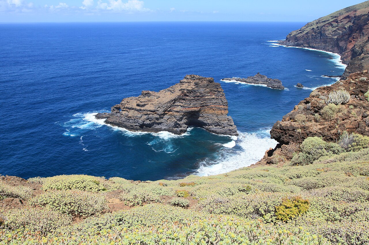
Staying in a finca
Why Tijarafe. The sunny west side, a quiet village, and short drives to the coast trails and the Mirador del Time. It works well as a base for a week of hiking rather than a single overnight stop.
What to look for. A rural finca or apartment with parking and an ocean-view terrace makes the evenings. A kitchen helps — village restaurants close early, so self-catering is the relaxed option after a long trail day.
A night in Santa Cruz. If your flight home is early, one final night in Santa Cruz de La Palma puts you a short drive from the airport. Booking.com · Santa Cruz de La Palma
Affiliate links: if you book, PureSoul may earn a small commission at no extra cost to you.
Getting there
- Fly into La Palma airport (SPC) on the east coast, south of Santa Cruz. Direct winter flights run from several European cities; otherwise connect via Tenerife or Gran Canaria.
- Rent a car at the airport. Buses exist but are too sparse for trailheads. A small car is easiest on narrow village roads.
- Airport → Tijarafe: roughly 1 h 15–1 h 30 via the LP-3 tunnel and Los Llanos, then the LP-1 north (estimate — check a route planner for your dates).
- Google Maps · Tijarafe Apple Maps · Tijarafe
Driving notes
- Roads: the LP-1 is winding; the road to Roque de los Muchachos is long and can close for ice or snow in winter.
- Check before you drive up: Roque de los Muchachos is reached by the LP-4, which the Cabildo has closed after snowfall and because of ice. Check official visitor road and closure notices and Cabildo mobility information before leaving Tijarafe. Obey barriers and signs even if a maps app proposes the road.
- Travel times are estimates: the times above are rough planning figures, not verified journeys from your accommodation. Use the Google or Apple Maps link with your actual starting address for the current driving route and arrival estimate. A place-name search for a beach is not confirmation that its access track is drivable.
Hikes from this basecamp
The GR 130 stage from Garafía ends in Tijarafe itself, and the island's other measured trails are a short drive away — each with a stored map, elevation profile and free GPX download.