
Six day hikes,
three luminous archipelagos.
Each hike soul-scored, mapped with real OSM trails, and held by real photographs. Choose one a day, pair them in twos, or stack a full Arctic week.
Senja
Mefjord & Skaland day hikes
Two ridges above Norway's most vertical island — Segla from Hesten, and Husfjellet above Skaland.
Soul Signature11 km return · +543 m · 4 – 5 h
Hesten ridge · the Segla view
Mefjord · National Tourist Route
The most photographed wall in northern Norway, walked in an afternoon.
Map · stops · GPX →
 Soul Signature
1.7 km return · +631 m · 3 – 4 h
Husfjellet · the wide eastern view
Skaland · Bergsfjord
Senja's open balcony over the inner archipelago.
Map · stops · GPX →
Vesterålen
Nyksund, Bleik & the Queen's Route
The Queen's Route from Nyksund to Stø, and the puffin-island ridge of Måtinden above Bleik.
 Soul Signature
26 km loop · +292 m · 6 – 7 h
Dronningruta · the Queen's Route
Nyksund ↔ Stø · Langøya
Norway's most loved coastal loop — high path out, sea-side return.
Map · stops · GPX →
 Soul Signature
6.7 km return · +403 m · 2.5 – 3 h
Måtinden ridge above Bleik
Bleik · Andøya
A puffin-island view from a 408 m grass ridge — finish on the longest white beach in Vesterålen.
Map · stops · GPX →
Lofoten
Reine, Hamnøy & Reinefjord
The Reinebringen Sherpa staircase and a gentle ferry-and-foot day to Bunes beach.
 Soul Signature
0.6 km return · +440 m · 2.5 – 3.5 h
Reinebringen · the Sherpa staircase
Reine · Moskenesøya
1 872 hand-laid stone steps to the iconic view of Reinefjord.
Map · stops · GPX →
 Soul Signature
4.9 km return on foot · +145 m · Half day (incl. ferry)
Bunes beach via Vindstad ferry
Vindstad · Reinefjord
A short boat into the fjord, a soft walk to a wide white-sand bay.
Map · stops · GPX →
La Palma
La Palma · six complete hiking routes
Official island trails, measured stored lines and free GPX — from the Caldera rim to the Camino Real. Check current trail closures before walking.
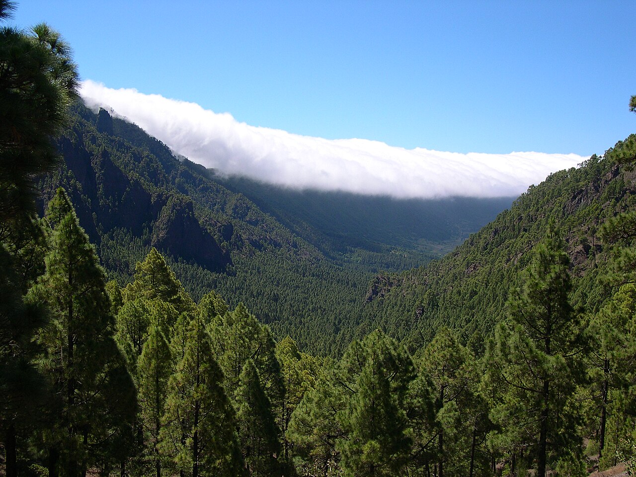 Soul Signature
26 km one-way · +1447 m / −2381 m · Allow 9 h (estimate)
Roque de los Muchachos → Refugio del Pilar
GR 131 · stage 2 · Canary Islands · Spain
A complete high-mountain traverse along the Caldera rim, continuing south to the pines of El Pilar. This is the rim walk, not the Caldera interior descent.
Map · stops · GPX →
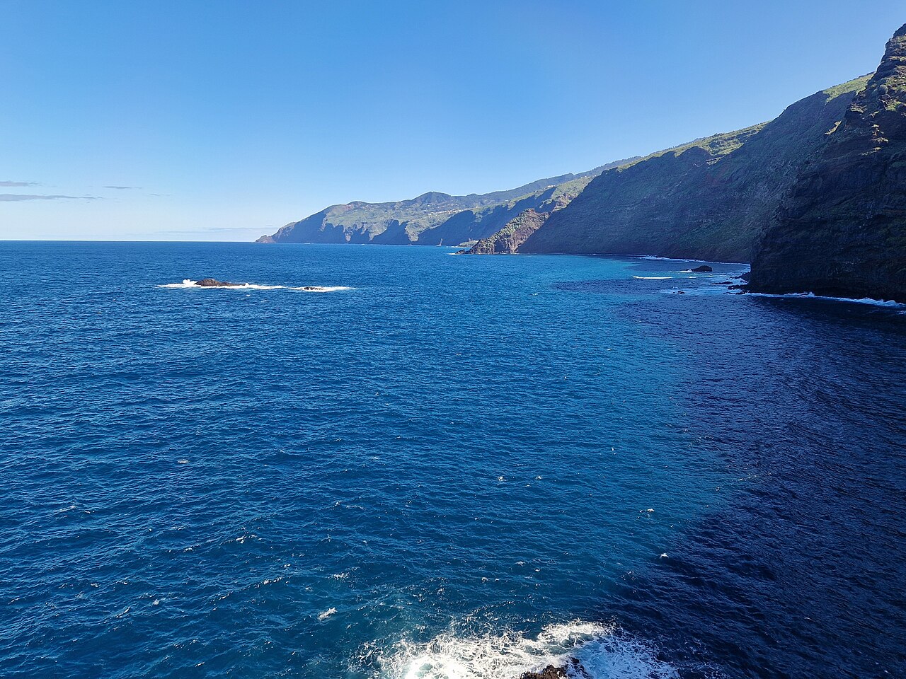 Soul Signature
21 km one-way · +2236 m / −2062 m · Allow 9 h (estimate)
Puntallana → Barlovento
GR 130 · stage 2 · Canary Islands · Spain
Walk the complete northeastern stage of the Camino Real, crossing green ravines between Puntallana and Barlovento. Atlantic views meet village paths and steady climbs.
Map · stops · GPX →
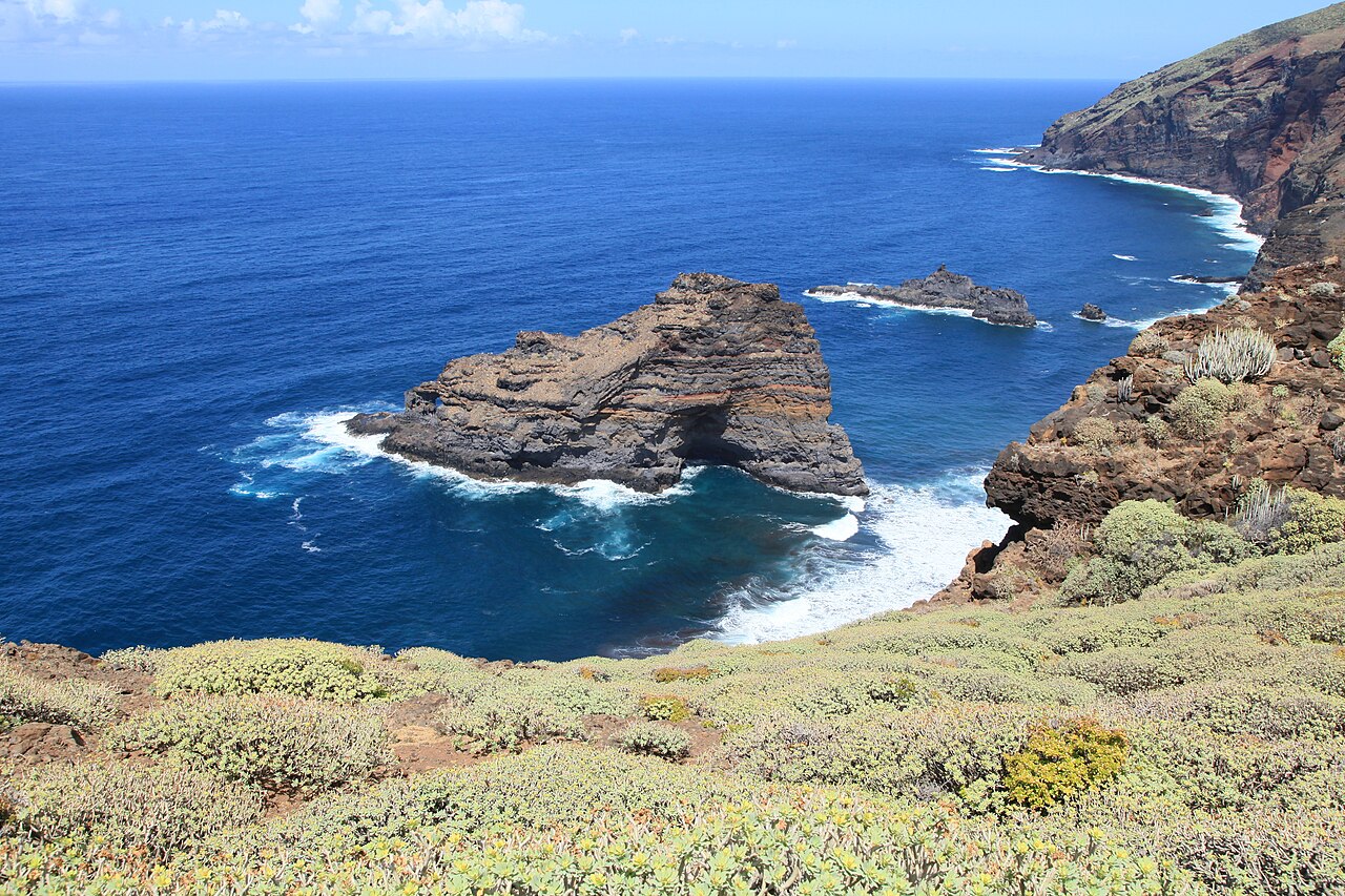 Soul Signature
25 km one-way · +2274 m / −1980 m · Allow 10 h (estimate)
Santo Domingo de Garafía → Tijarafe
GR 130 · stage 4 · Canary Islands · Spain
The complete western Camino Real stage links Garafía, Puntagorda and Tijarafe through cultivated slopes, ravines and Atlantic-facing country paths.
Map · stops · GPX →
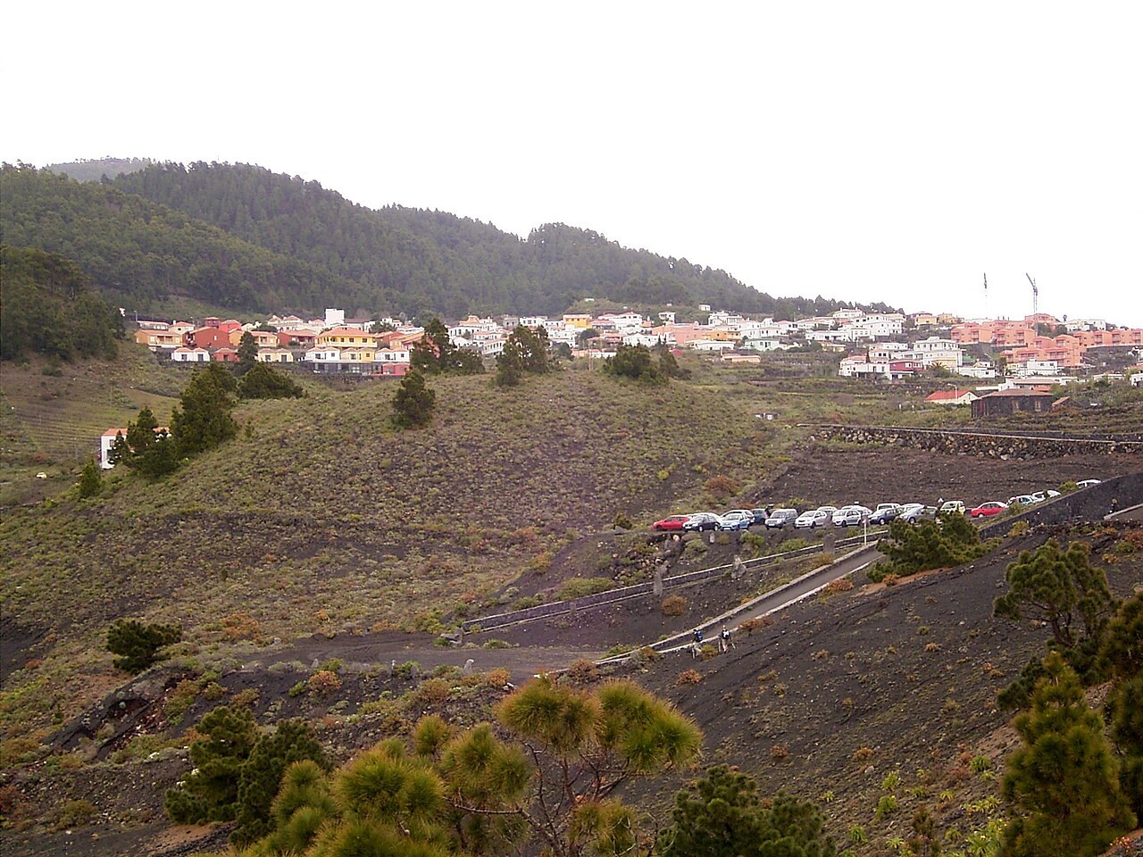 Soul Signature
15 km one-way · +855 m / −1141 m · Allow 6 h (estimate)
Fuencaliente → Villa de Mazo
GR 130 · stage 7 · Canary Islands · Spain
Follow the complete southern Camino Real stage from Fuencaliente to Villa de Mazo, through the eastern slopes of Cumbre Vieja. Quiet stretches give the day its unhurried rhythm.
Map · stops · GPX →
 Soul Signature
11 km one-way · +268 m / −803 m · Allow 4 h (estimate)
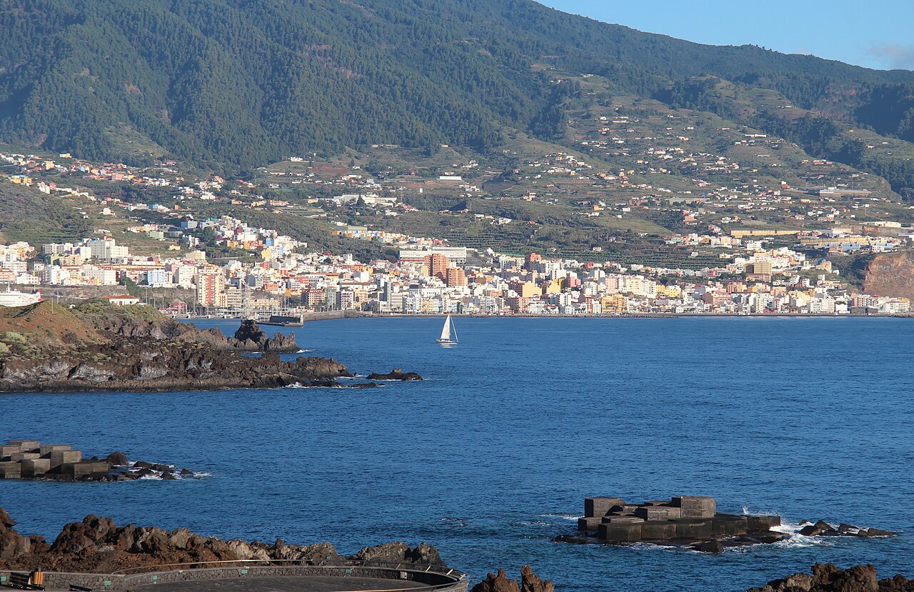
Villa de Mazo → Santa Cruz de La Palma
GR 130 · stage 8 · Canary Islands · Spain
The complete final Camino Real stage brings you from Villa de Mazo to the island capital. This is a village-to-town walk with substantial paved sections, not an isolated wilderness trail.
Map · stops · GPX →
 Soul Signature
24 km one-way · +1855 m / −1872 m · Allow 9 h (estimate)
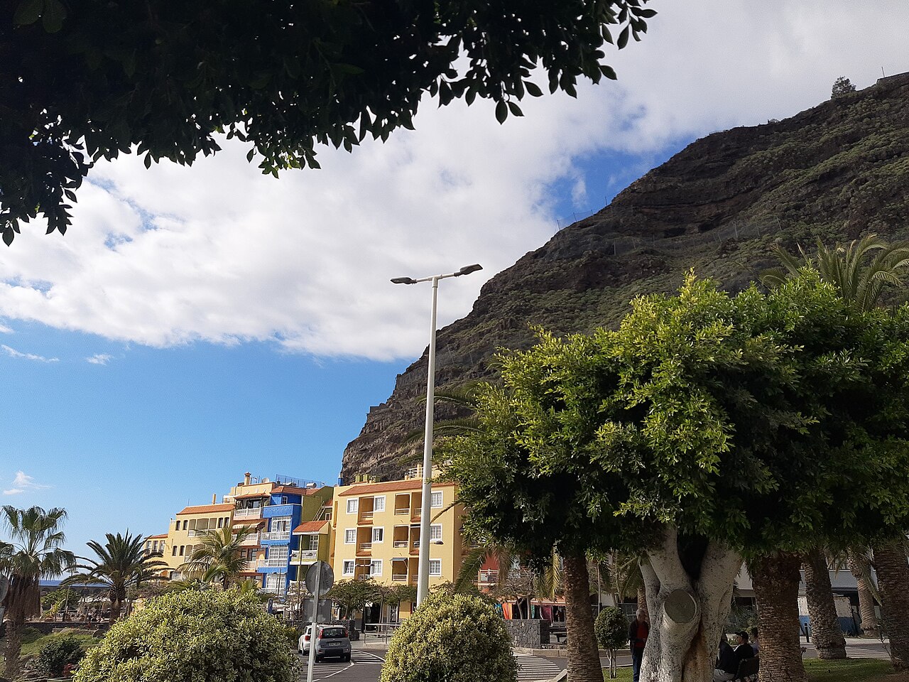
Santa Cruz de La Palma → Puerto de Tazacorte
PR LP 01 · Canary Islands · Spain
A complete coast-to-coast crossing of La Palma on the official PR LP 01, from Santa Cruz to Puerto de Tazacorte. A substantial mountain crossing, with a harbour at each end.
Map · stops · GPX →